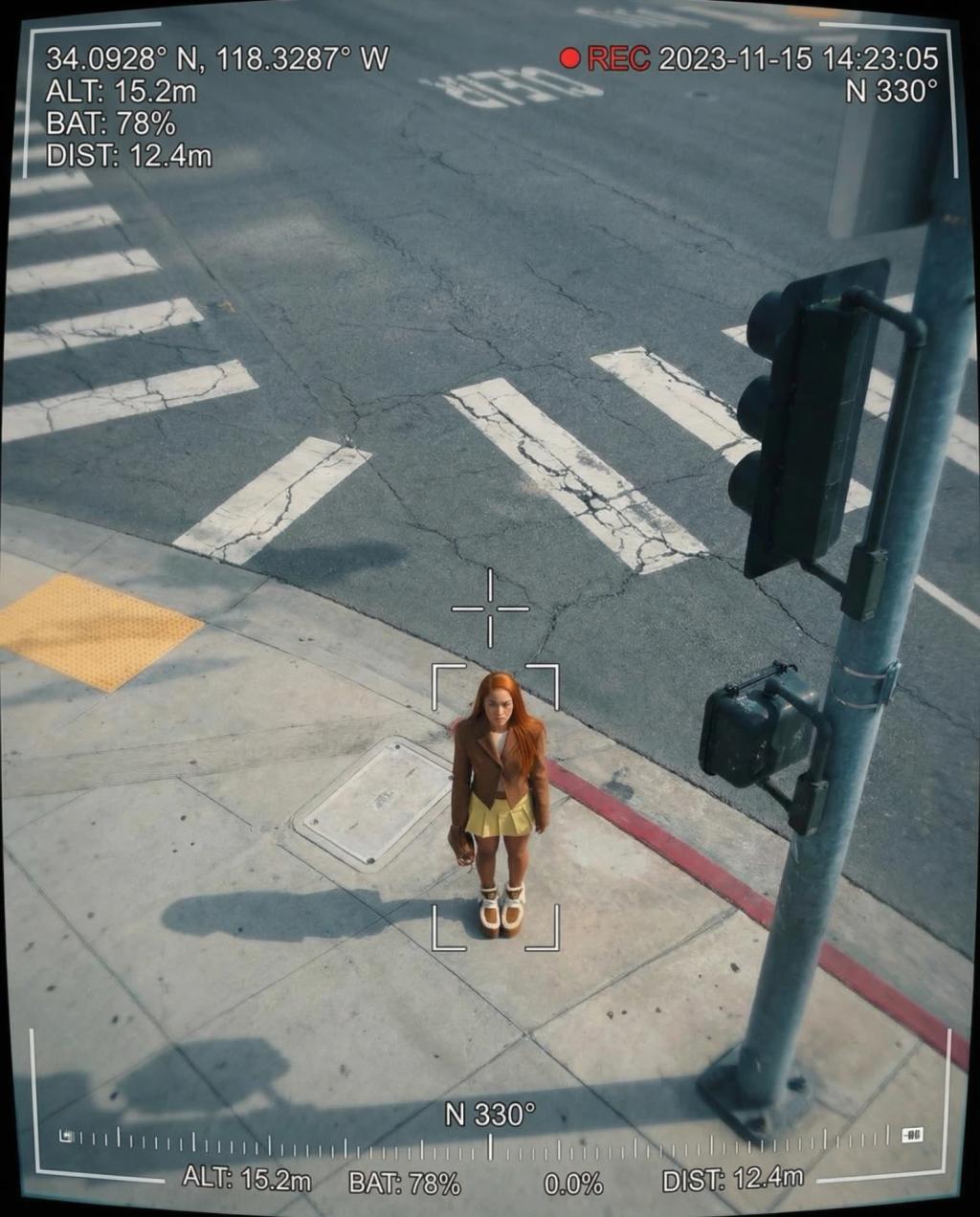
Drone Surveillance Aerial Tracking POV
Image
GeminiPrompt Type: Image generation prompt
Click to try on Gemini
1
Number of original images required
49
Total number of views
Transform the uploaded image into drone surveillance footage, as if the subject is being tracked from a drone hovering directly above.
Drone camera perspective:
– Reframe the subject as viewed from a drone camera ~30-50 feet above, looking straight down or at a steep downward angle
– The subject should appear relatively small in the frame, surrounded by the environment below
– Wide-angle drone lens look: slight barrel distortion at frame edges
Drone HUD overlay:
– Crosshair/targeting reticle centered on the subject
– Tracking box around the subject with coordinate labels
– GPS coordinates displayed (e.g., ""37.7749° N, 122.4194° W"")
– Altitude indicator: ""ALT: 15.2m""
– Battery level indicator: ""BAT: 78%""
– Distance to target: ""DIST: 12.4m""
– Recording indicator: ""● REC"" with timestamp
– Compass heading indicator
– Telemetry data stream along bottom of frame
Image quality:
– High-resolution but with slight digital compression artifacts
– Slight atmospheric haze between drone and subject (distance haze)
– Colors slightly desaturated from aerial distance
– Subtle vibration/micro-shake consistent with hovering drone
Subject treatment:
– Subject preserved exactly but shown from the overhead perspective
– Shadow cast directly below (aerial sun angle)
Hard rules:
– Preserve the subject's identity, clothing, and appearance
– Only apply drone POV perspective, HUD overlay, and aerial photography effects
Output should look like authentic drone surveillance footage — high-tech, slightly unsettling, and cinematic.